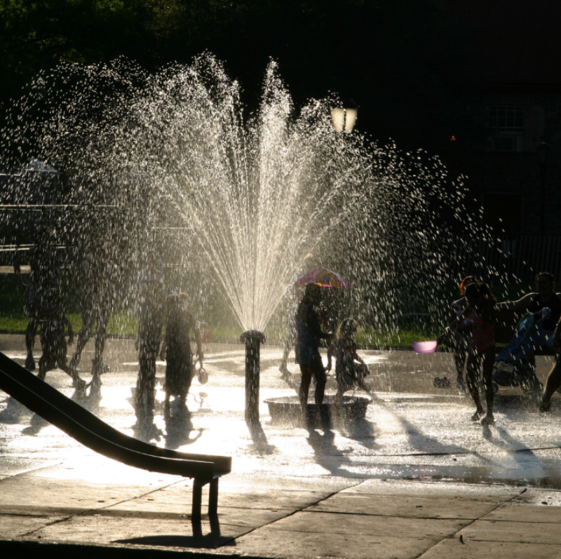
UrbanHeatATL is a partnership initiative between the Atlanta Office of Resilience, Spelman College, Georgia Tech, West Atlanta Watershed Alliance, Harambe House, and Partnership for Southern Equity. Using temperature data collected by volunteers on small sensors during their daily walks, bike rides, or commutes, UbanHeatATL is creating street-level temperature maps for neighborhoods throughout Atlanta. With this data, they will identify areas particularly vulnerable to heat islands. This information will be shared with stakeholders and policymakers to inform adaptation efforts.
Heat islands are urban areas where high concentrations of heat are trapped due to buildings, sidewalks, and lack of green space. Downtown and industrial areas in Atlanta are up to 10+ degrees warmer than their suburban and rural counterparts. Extreme heat increases the risk of heat fatigue, heat stroke, and other heat-related illnesses – the leading cause of weather-related deaths.
In the face of a worsening climate crisis, heat islands present a severe public health threat, especially for vulnerable populations like children and for Black and brown and low-income families. UrbanHeatATL and community members of Atlanta are creating a healthier, more just, and climate-adaptive city by addressing the impact of heat islands.
North Carolina's Early Childhood Action Plan outlines a cohesive vision and establishes shared stakeholder accountability to achieve statewide goals for young children from birth through age 8.
Minnesota is one of only a few states that develops its own drinking water guidance. State law specifies that the guidance must adequately protect the health of infants and children.
Michigan has the most PFAS contaminated water sites in the country and has responded rapidly and strongly with a multi-agency collaboration that is acting to protect Michigan’s drinking water.
Using temperature data collected by volunteers on small sensors during their daily walks, bike rides, or commutes, UbanHeatATL is creating street-level temperature maps for neighborhoods throughout Atlanta.